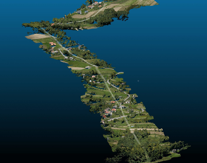
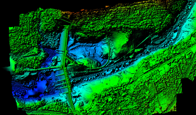
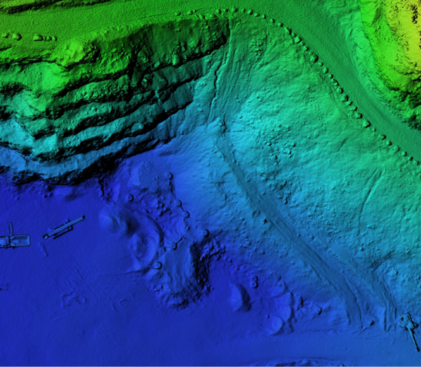
Photogrammetry is the earliest and most commonly used techniques in the field of remote sensing....
about us
ARYA GEOSPATIAL
Arya Geospatial is providing state of the art Geospatial services to various Remote Sensing companies.
We are a pioneer in the digital data Industries with a dedicated workforce in the Civil Engineering and IT firms related to Lidar Data Processing, Engineering Services, Mapping and Navigation Services.
- Photogrammetry
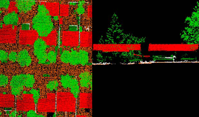
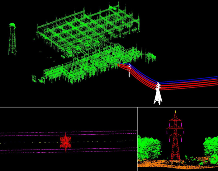
- Lidar
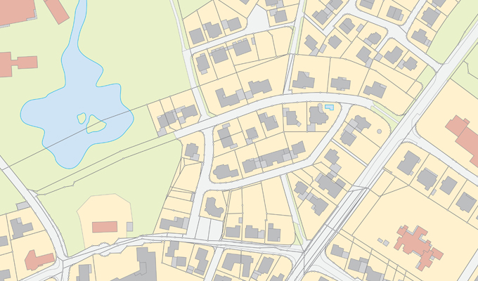
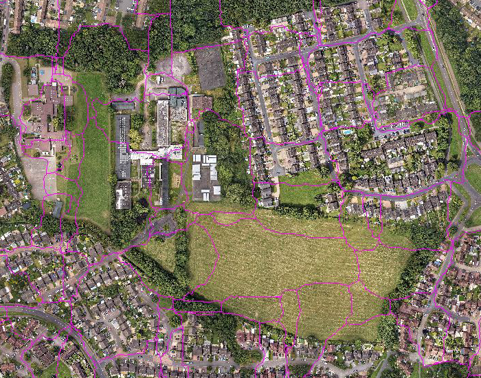
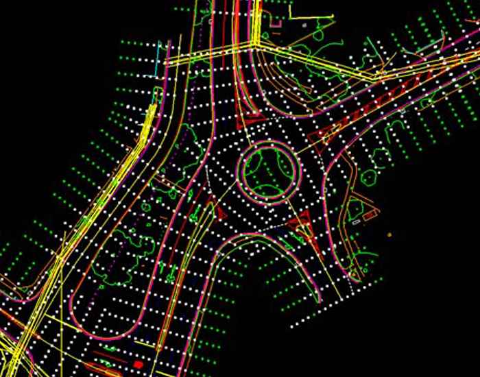
- GIS
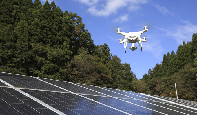
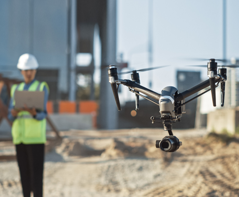
- Drone Services
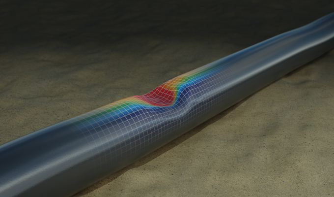
- Pipeline Data Processing
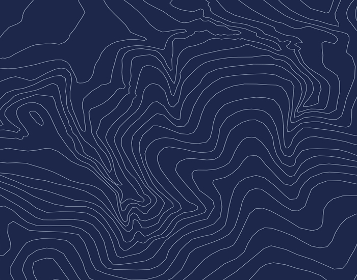
- Environmental Analysis
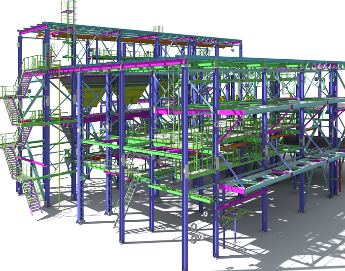
- 3D Modeling
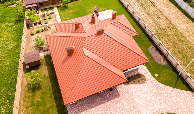
- Building Roof Measurement
Read More Read More
Call us or for any inquiries +91 7023756069