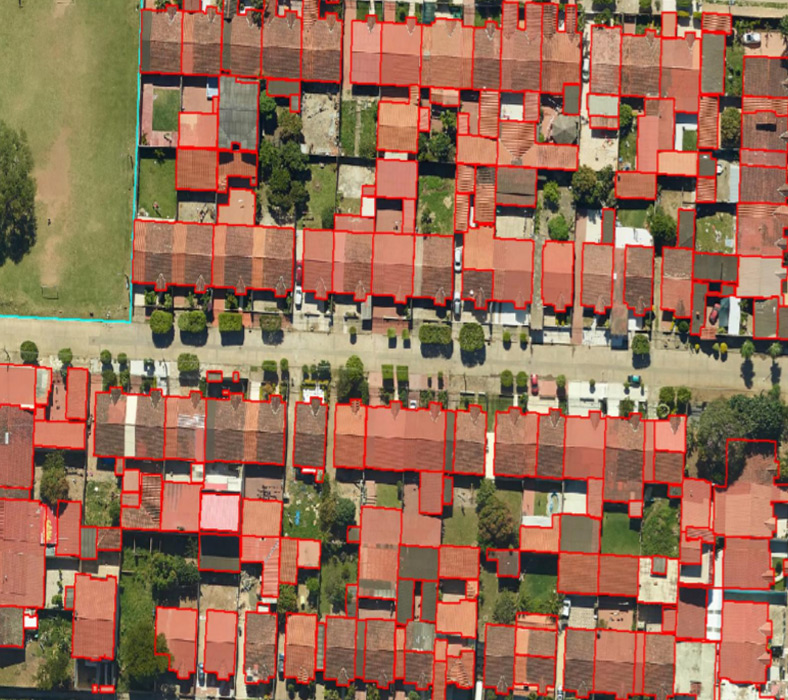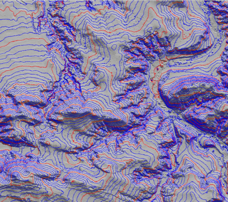

Arya Geospatial receive the inputs from various domains such as Cadastral maps, Utility maps, Geology maps and Engineering or Architectural drawing in the form of paper or a scanned image format.
We will digitize/convert these inputs received to digital formats according to the required technical specifications received from the client. We deliver the quality output in various formats as per the client requirements.
Arya Geospatial always follows the International data creation standards along with defined project process methodology to ensure the quality of the deliverables
Arya Geospatial offers the following Data Processing Services:

