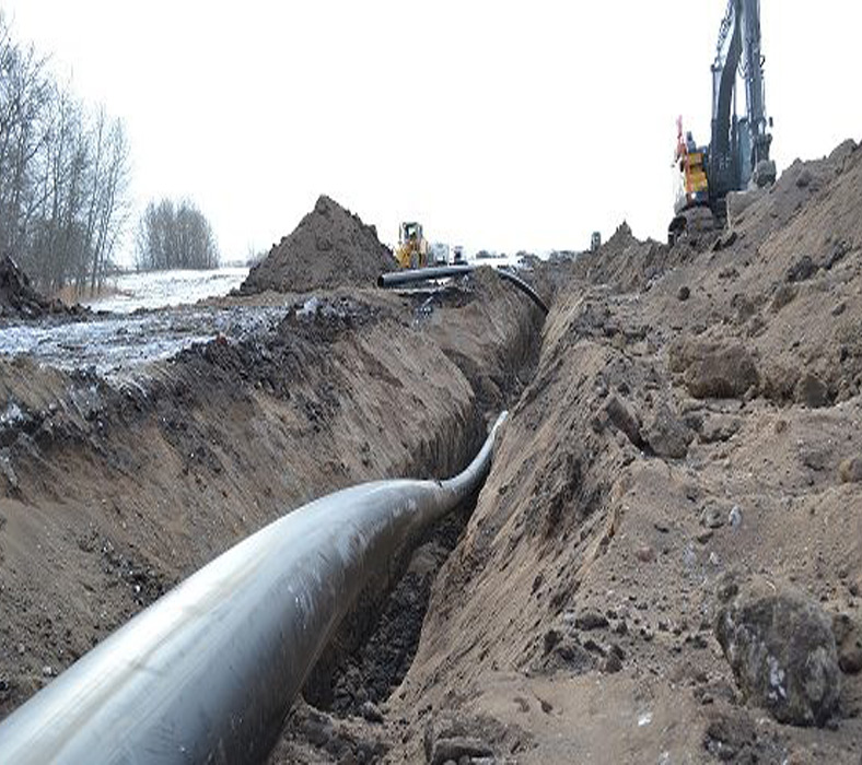

Arya Geospatial is helping clients in the pipeline digital twin. We design and create pipelines by using advanced mobile LIDAR and imagery to create a digital pipeline for the construction and maintenance.
By processing the laser scanned data we can transform into useful information in real time entity which can be used in the right purpose.
By using the pipeline digital data, the construction engineers are able to take timely and effective decisions and also it can be used to verify the construction issues by saving time and reducing the costs.
We proces the scanned data into 3D colourized point clouds, high resolution imagery and 3D GIS/ CAD products.
