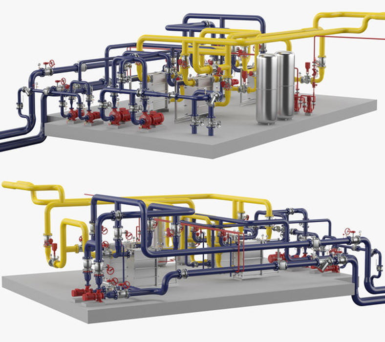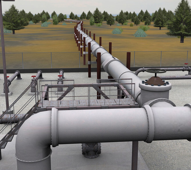

Arya Geospatial provides the most competitive and reilable service using point cloud to 2D Drawings or 3D modelling outputs.
Our inhouse qualified and experienced engineers helps you work on point cloud or scans to different level of details.
3D Laser Scanning is a technology that is used to digitally acquire the shape of a 3D object. Data is acquired in the form of "point clouds" from the surface of an object using the 3D Laser Scanners.
We use 3D laser scanning surveys to acquire the information of a solid object in the form of "Point Clouds" which are used to further process and create 3D Models.
Our Main Services are as follows:

