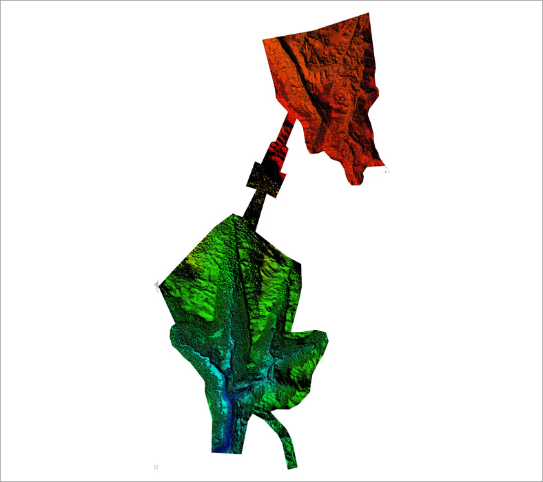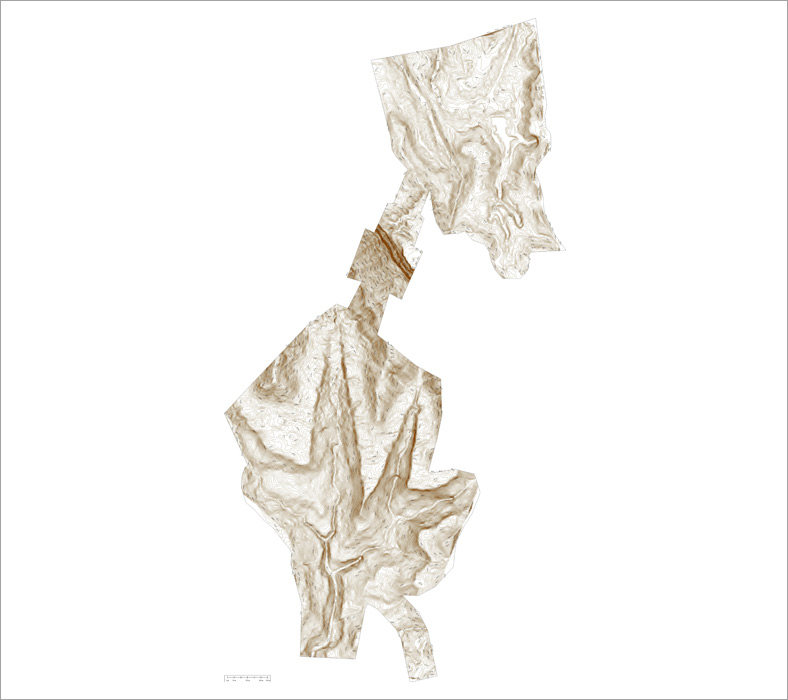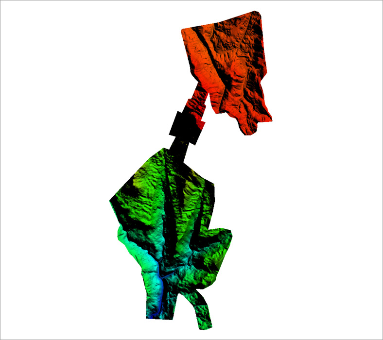

Drone and aerial surveying is one of the feasible Technology used in the Geospatial Industries.
Arya Geospatial also focussed on digitizing data that is captured by using Drones.
Drone companies in India we use has RTK/GPS technology and is specifically designed for surveying.
Our UAV and Drone team successfully executed more than 100s of Projects in various sectors.
Drone mapping services includes


