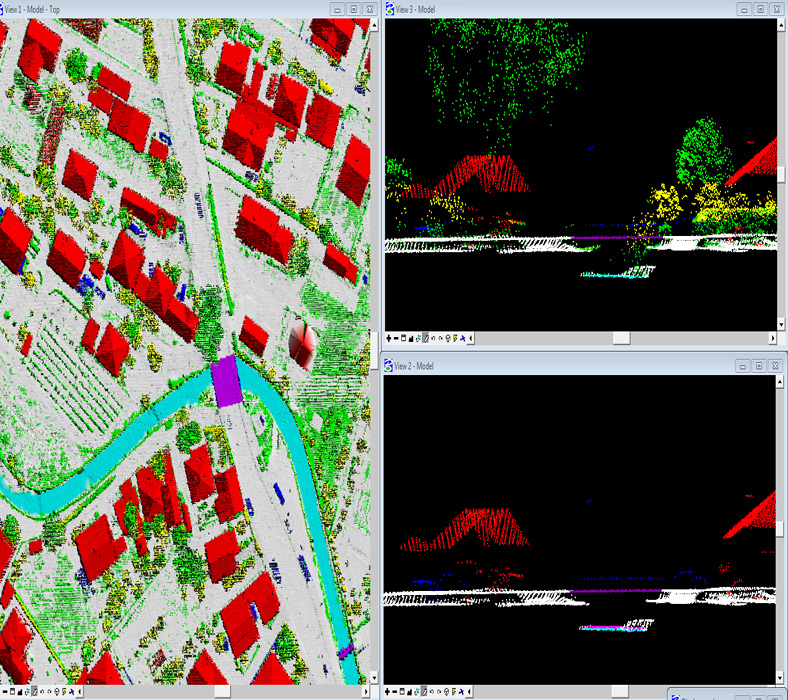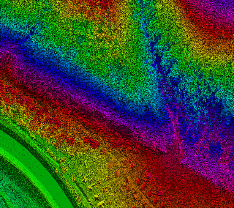

LiDAR (Light Detection And Ranging) is an aerial laser scanning technology which enables height data from the land to be captured quickly accurately and cost effectively.
It is used for generating Digital Elevation Models and Digital Terrain Models.Used in mapping infrastructure such as power-lines, railways, pipelines and roadways.
Team Arya is dedicated and have well trained staff to process the collected data to a rigorous quality control review.
Process including data density, terrain variation analysis, data anomaly filtering, review of 3D/perspective views and review against corresponding digital orthophotography (where available).
We offer LiDAR services and solutions as follows:


